Updated 2023
Software updates to streamline site analysis and enhance collaboration, ensuring solar developers remain at the forefront of technological advancements.
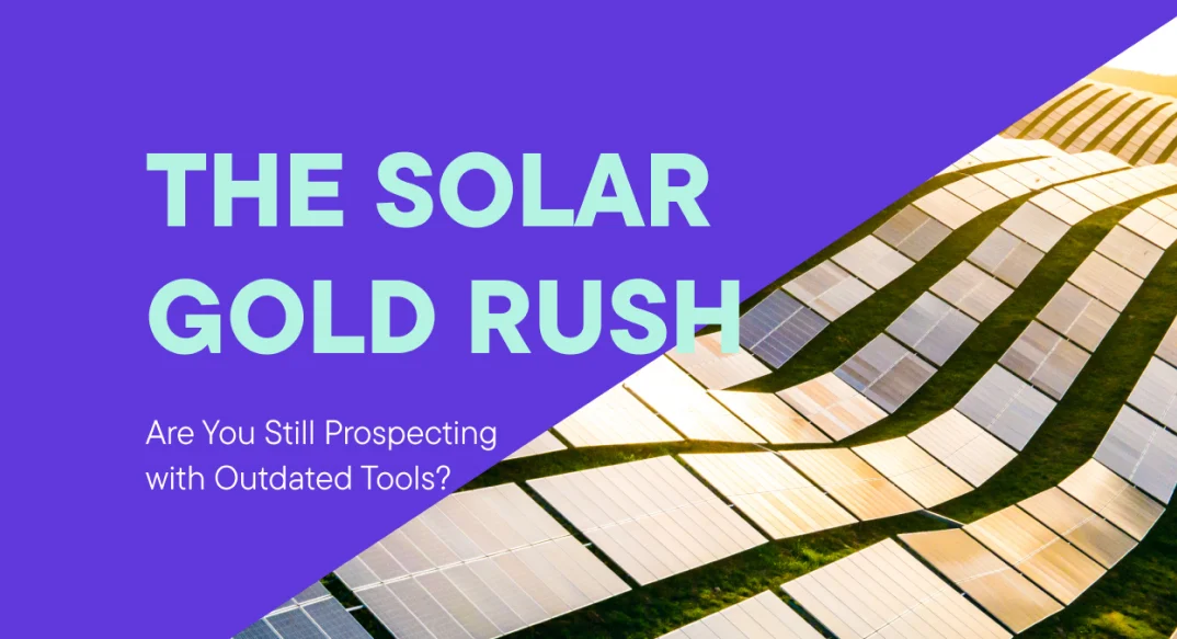
In the race for the best solar sites, the stakes have never been higher. As the global appetite for renewable energy has been growing, every patch of sunshine is a sought-after plot of land. The competition is fierce, and the window of opportunity is constantly shrinking.
As a solar developer, you're no stranger to the complexities of site selection. For years, you've navigated the process using many tools, from Google Earth to traditional Geographic Information Systems (GIS). But here's a thought: In a world where technological advancements are reshaping industries at breakneck speeds, are you still prospecting for solar gold with outdated tools?
Picture this: Multiple projects are vying for your attention, each with its own set of variables to consider. The clock is ticking, and any delay in decision-making might just let that perfect solar site slip through your fingers. The conventional path, where you shuffle between different software, spreadsheets, and experts, is both cumbersome and time-consuming.
But here's the kicker – we are soon moving to 2024, and the landscape of solar development is experiencing a seismic shift. Glint Solar is all set to be your companion to simplify how solar pioneers like you identify, evaluate, and design solar sites.
No more laborious hours spent switching between tools or waiting for GIS specialists to deliver critical data. With Glint Solar, you're in control, and your solar site selection journey has just become more efficient.
We’re excited to give an overview of our most recent software updates to make your life a lot easier.
What's New in the Glint Solar Software?
In the world of solar development, informed decisions are the bedrock of success. We understand that optimizing your solar projects for peak efficiency and impact is your top priority. That's why we've revolutionized the way you analyze solar energy production.
Our latest updates put extensive data at your fingertips, enabling you to make precise evaluations of potential yield in any location. We believe that every solar project is unique, and our improved configuration for solar energy production analysis reflects this belief.
Determine the Buildable Area Faster
Earlier this year, we introduced a categorization system for objects within your project area. This means you can classify objects as Include, Exclude, or Other to streamline your analysis and get a realistic level of customization. Here's why it matters:
- Accuracy and visualization: By categorizing objects, you'll gain a more accurate visual representation of your site. This enhanced clarity allows you to tailor your analysis to your exact requirements, providing deeper insights into your site's energy potential.
- The power of exclusion zones: One of the standout features our customers have raved about is the ability to create exclusion zones within their PV sites. This feature allows you to pinpoint and exclude objects that could compromise the potential of your solar project. By removing obstacles, like trees, buildings, or any other unbuildable area from your analysis, you can achieve accuracy in assessing your solar site's potential.
Effortless planning: Draw and add essential elements such as access roads, roadblocks, tracker placements, and more with just a few clicks. This means you can quickly and easily customize your solar project to match your vision and goals.
Start your free trial now and create your first solar site and exclusion zone.
Easily import, export, and manage data layers
With Glint Solar, you can easily import custom data layers, and organize all of them in one accessible layers library.
We support Shapefiles, GeoJSON, KML, KMZ, and GML files. What’s even better is that you can now copy the geometry of any data layer to a project with just a single click.
Glint Solar's import and export functionality allows you to collaborate and share your projects seamlessly. By importing important GIS data like parcel boundaries, land use classifications, and additional grid information, you can easily access and organize all your data layers in one place.
The ability to import and export objects or your entire project as .KML files make it easier than ever to share your work with colleagues or external stakeholders. This feature is ideal for solar developers who have a large number of projects and need to easily transfer data to additional software before or after using Glint Solar
Create powerful and realistic project layouts
Bring your layouts to life and create realistic photo layouts of your solar site with these new features:
Solar tables and spacing
To improve the layout of the park, we've made an update that allows you to set the table length and spacing. This means your solar panel layout can now closely mirror real-world conditions, offering you better planning precision.
Grid alignment of solar tables
Choose between center or grid alignment of your solar tables.
Select the alignment of your solar tables in the PV configuration. Get a more realistic view of your PV design by customizing your solar table alignment. You can choose between 'center' and 'grid' alignment to best suit your needs.
Add some color!
Customize colors for exclusion zones, and assign different colors to your objects based on e.g. criticality.
Efficiently access and organize your project pipeline
Easily keep track of your projects and analyses using the software's dedicated tabs for Projects and Analyses. View all your previous work in an organized and user-friendly manner, making it simple to revisit and stay on top of your projects. You can now also add labels to your projects and sort them for a better portfolio overview, making it even easier to find and organize your projects.
Powerful conversations: Gather and organize your work. Track changes and updates and gather valuable feedback all in one place. Make sure everyone has the latest project version.
- Add files directly to your projects. Access all the information you need for your projects, like leases, permitting checklists, environmental assessments, and financial analysis in one place.
- Add comments and links to your projects.
PV panel configuration in real-time 3D
Say goodbye to guesswork! 3D panel view provides an immersive, true-to-life representation of your solar projects. Easily find the optimal panel orientation for precise placement. This means your designs will accurately reflect the reality of your sites, giving you the confidence to move forward with your projects.
Book a free demo and explore 3D panels now!
Get up to speed with all the new features
These updates aim to optimize the solar site identification, design, and analysis process, allowing you to work more efficiently and effectively. Curious about what the latest version of Glint Solar's software can do for you? Transform your solar site selection process with Glint Solar. With data packages covering numerous European countries, including Spain, Italy, Germany, Romania, and more, Glint Solar provides essential insights for informed decision-making.

