Common questions about Area Insights
What does Area Insights do?
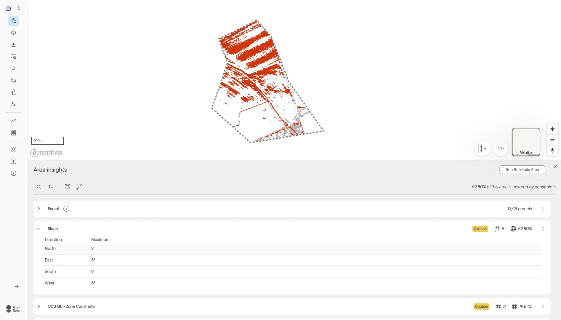
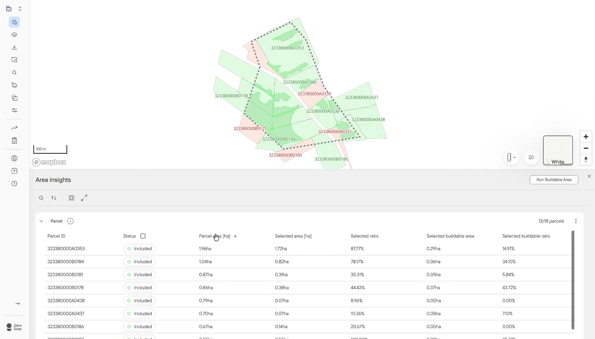
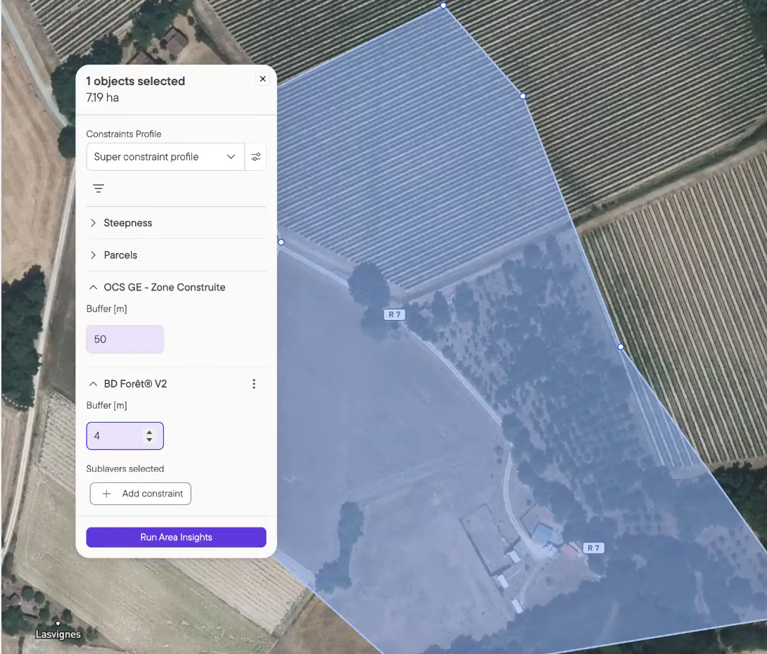
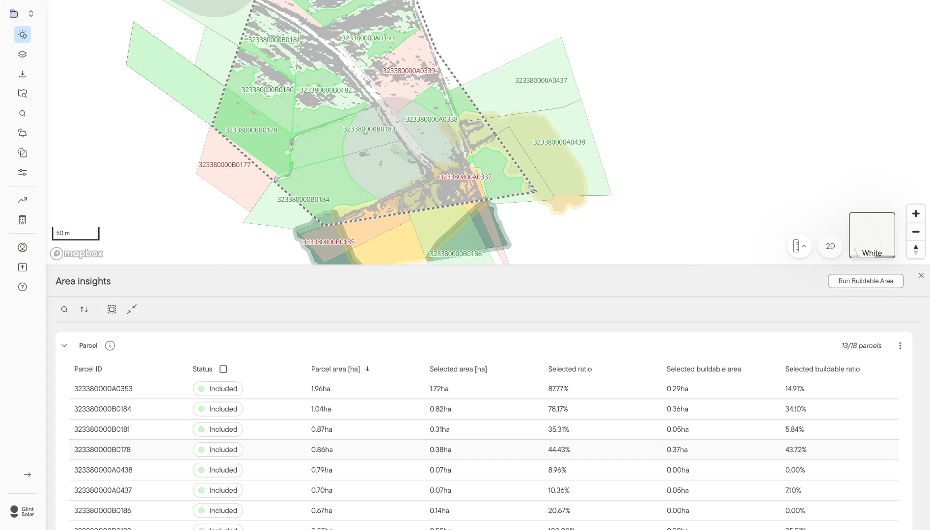
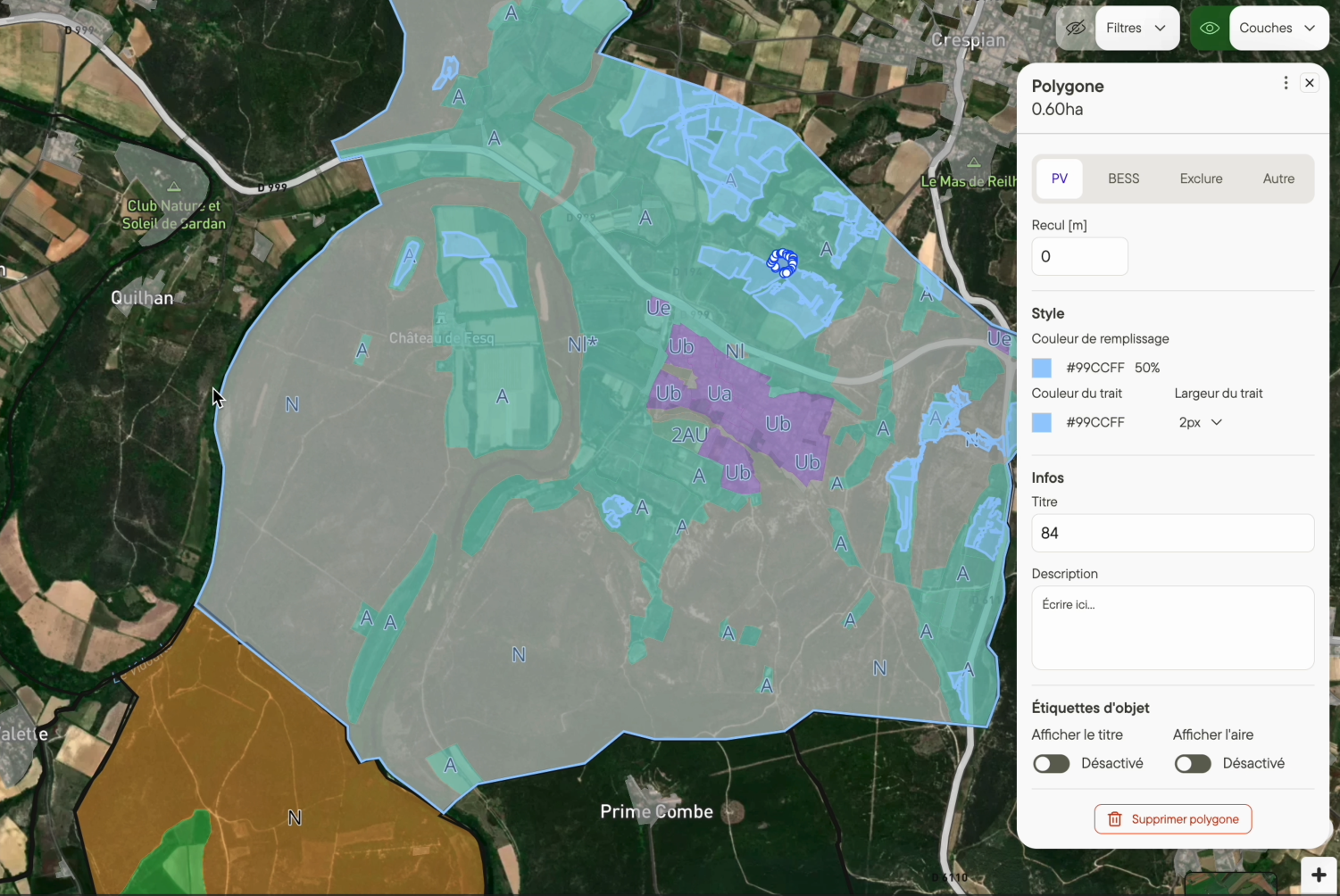
You select an area on the map, right-click, and run Area Insights. It returns a report showing how every constraint layer in your profile interacts with that area, along with slope and parcel detail. It answers whether a site is worth pursuing before anyone commits engineering hours to it.
How is it different from Buildable Area?
Buildable Area gives you the footprint you can build on. Area Insights tells you what stands in the way and how serious each thing is. Most teams assess a site first to decide whether it's worth keeping, then run Buildable Area from the same report to get the footprint.
What do cleared, caution and danger mean?
Cleared means the layer has no geometries interacting with your area. Caution means at least one does, so it needs a closer look. Danger means your area is fully covered by that constraint, which usually makes the site a no-go unless the constraint can be mitigated.
Where is Area Insights available?
Everywhere Buildable Area is live, and it's switched on automatically based on your portfolio's geography. As Buildable Area reaches new markets, Area Insights follows.
Does a cleared report mean the site will get permitted?
No. It's an early filter rather than a permit decision. What it changes is where permitting work starts, on a site already checked against the constraints you care about instead of one that fails six months in.
Does it work for BESS projects as well as solar?
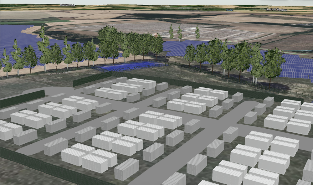
Yes. Area Insights runs against whichever constraint profile you pick, so a profile built around BESS siting rules gets assessed the same way as one built for PV.
Can I save or export a report?
Reports open in the app and can be re-run whenever the underlying data changes. Saved reports and PDF export are both on the way.