Qualify the sites worth building before you commit a single engineering hour.

Replace volume prospecting with surgical site selection. Screen buildable land, design layouts in minutes, and generate stakeholder-ready outputs, all in one workspace.

Scatec logo
Renner logo
Photosol logo
Statkraft logo
ILOS logo
Alight logo
RES logo
Total Energies logo
Scatec logo
Renner logo
Photosol logo
Statkraft logo
ILOS logo
Alight logo
RES logo
Total Energies logo

Find the sites worth pursuing on data, not instinct.

  • Filters buildable land using pre-loaded data layers or your own uploads, no GIS team required.

  • Apply constraints once: substation distance, slope, parcel size, exclusion zones. Identify grid limits during initial screening, not at the permit stage.

  • Buildable Area shows exactly where panels can go, green for buildable, grey for excluded.

  • Shortlist based on revenue potential and real site viability, not assumptions.

Site screening and Buildable Area in Glint Solar

From shortlist to bankable design in minutes.

  • Draw polygons, roads, exclusions, and grid connections directly on the map.

  • Run multiple design scenarios to test capacity and yield options before committing engineering hours.

  • Energy yield analysis covering 30-minute intervals over 15 years.

  • Iterate design scenarios without starting from scratch.

PV layout design and yield analysis in Glint Solar

Win stakeholder buy-in before the meeting is over.

  • AI visualization makes your project concrete for landowners, communities, and investors, reducing consultant spend by up to 70%.

  • Automated reports package capacity, yield, maps, and 3D renderings in one document.

  • Incorporate feedback live during meetings and send the report straight from the platform.

Beautify before and after 3

Frequently asked questions

Do I need a GIS team or technical background to use Glint Solar?

No. The platform is built for developers, not GIS specialists. Data layers for your market come pre-loaded, so you apply filters and constraints directly on the map without needing external software or a technical team to run it.

How does the yield analysis compare to PVsyst?

Independently validated at 0% to -2.2% deviation across ten European sites. Results export directly into PVsyst so you can move straight to bankable simulation without rebuilding the project. Read the comparison report.

Can I upload my own GIS data?

Yes. You can bring your own data layers alongside the pre-loaded ones. It's built for teams that have existing datasets and don't want to maintain a parallel GIS workflow just to use prospecting software.

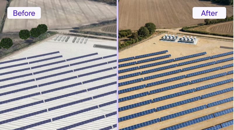
Does it cover BESS and hybrid projects, or just PV?

All three. You can analyse PV, BESS, and hybrid on the same site — capacity, yield, and hybrid revenue with arbitrage pricing across 18 markets. The BESS platform and hybrid analysis run in the same workspace.

What does the prospecting-to-stakeholder workflow actually look like?

Screen sites using constraint filters, shortlist on buildable area and revenue potential, run layout and yield scenarios, then generate a report with capacity figures, maps, and 3D renders — all without leaving the platform or handing off to another team. From first screen to stakeholder pack typically takes hours, not days.

Ready to qualify PV sites on data, not assumptions?

Book a demo and we'll walk you through how Glint Solar fits into your prospecting and design workflow.

Also developing BESS or hybrid projects?